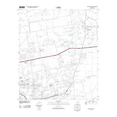
2010 Map of Mont Belvieu
USGS Topo · Published 2010About this map
Mont Belvieu and the surrounding coastal plains of Harris County are defined by a landscape of industrial infrastructure and suburban expansion at the start of the 21st century. The prominent Barbers Hill Oil Field and the southern Jergins Oil Field reveal the region's deep ties to energy production, while residential developments like Chaparral Village and San Jacinto Place indicate steady growth near the East Freeway. The winding course of Cedar Bayou serves as a primary geographic anchor, creating natural features such as Milam Bend and Pond Gully. Local heritage is preserved in numerous burial grounds, including the Williams Cemetery, Lawrence Cemetery, and Morgan Cemetery. Transportation and community hubs like the San Jacinto Mall, Baytown Youth Fair Fairgrounds, and several private airstrips including Rogers Airport and Ferris Airport illustrate the modern logistical character of this Texas Gulf Coast corridor.
Find a feature on this map
64 named features on this map. Tap any name to fly to it.
Don’t see what you’re looking for? This feature index may not catch every label — zoom into the map to look around manually.
Map Details
Editions of this 2010 Mont Belvieu Map
This is the sole edition of this map. No revisions or reprints were ever made.
Other maps of this area

1916 · Burnett Bay
USGS Topo · 1:24,000

1916 · Crosby
USGS Topo · 1:24,000

1916 · Morgan Point
USGS Topo · 1:24,000

1916 · Cedar Bayou
USGS Topo · 1:24,000

1916 · La Porte
USGS Topo · 1:24,000

1919 · Morgan Point
USGS Topo · 1:31,680

1919 · Crosby
USGS Topo · 1:31,680

1919 · Cedar Bayou
USGS Topo · 1:31,680

1920 · La Porte
USGS Topo · 1:31,680

1920 · Highlands
USGS Topo · 1:31,680