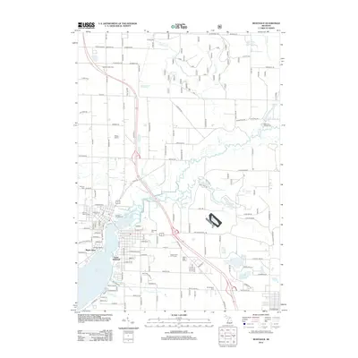
2012 Map of Montague
USGS Topo · Published 2012About this map
The White River and its confluence with White Lake dominate this 2012 survey of the Muskegon County shoreline. The residential and commercial development of South Whitehall and Maple Grove follows the water's edge, highlighting the area's transition from an industrial river-and-rail past to a modern recreation-focused landscape. Inland, the map reveals a network of water bodies including Owasippe Lake, Austin Lake, and Silver Creek Pond, alongside facilities like Ottiger Airport and the Hickory Knoll Golf Course. Genealogists will find significant value in the documentation of several local burial grounds, including the Old Sprague Cem, Mount Calvary Cem, and Sammis Cem. The presence of the Montague Marina and multiple campsites like Trailway Campground emphasizes the importance of the waterfront to the local economy and seasonal residents during this era.
Find a feature on this map
73 named features on this map. Tap any name to fly to it.
Don’t see what you’re looking for? This feature index may not catch every label — zoom into the map to look around manually.
Map Details
Editions of this 2012 Montague Map
This is the sole edition of this map. No revisions or reprints were ever made.
Other maps of this area

1929 · Montague
USGS Topo · 1:48,000

1931 · Hart SE
USGS Topo · 1:31,680

1931 · Walkerville SW
USGS Topo · 1:31,680

1954 · Milwaukee
USGS Topo · 1:250,000

1958 · Milwaukee
USGS Topo · 1:250,000

1958 · Hesperia
USGS Topo · 1:62,500

1958 · Twin Lake
USGS Topo · 1:62,500

1959 · Montague
USGS Topo · 1:62,500

1959 · Hart
USGS Topo · 1:62,500

1976 · Montague NW
USGS Topo · 1:24,000