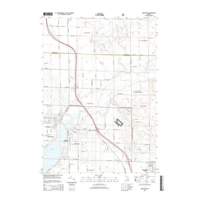
2014 Map of Montague
USGS Topo · Published 2014About this map
White Lake and the White River anchor this 2014 study of the interconnected communities of Whitehall and Montague. The landscape is defined by the transition from the built environments of Maple Grove and South Whitehall to the wooded expanse of the Manistee National Forest. This region, split by the Oceana Co-Muskegon Co line, reveals a dense network of local history through its numerous burial grounds, including the Oakhurst, Old Sprague, and Sammis cemeteries.
Find a feature on this map
96 named features on this map. Tap any name to fly to it.
Don’t see what you’re looking for? This feature index may not catch every label — zoom into the map to look around manually.
Map Details
Editions of this 2014 Montague Map
This is the sole edition of this map. No revisions or reprints were ever made.
Other maps of this area

1929 · Montague
USGS Topo · 1:48,000

1931 · Hart SE
USGS Topo · 1:31,680

1931 · Walkerville SW
USGS Topo · 1:31,680

1954 · Milwaukee
USGS Topo · 1:250,000

1958 · Milwaukee
USGS Topo · 1:250,000

1958 · Hesperia
USGS Topo · 1:62,500

1958 · Twin Lake
USGS Topo · 1:62,500

1959 · Montague
USGS Topo · 1:62,500

1959 · Hart
USGS Topo · 1:62,500

1976 · Montague NW
USGS Topo · 1:24,000