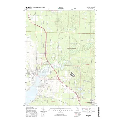
2017 Map of Montague
USGS Topo · Published 2017About this map
White Lake and the White River serve as the central geographic features for the twin cities of Montague and Whitehall in this 21st-century documentation. The urban layout of both settlements is shown in detail, including the residential and industrial corridors of Maple Grove and South Whitehall. A significant portion of the landscape to the east is dedicated to the Manistee National Forest, where the terrain transitions into a complex network of wetlands and smaller water bodies such as Owasippe Lake, Dalton Lake, and Silver Creek Pond. Local heritage is well-preserved through the documentation of several burial grounds, including Mount Calvary Cem and the Old Sprague Cem. The area’s recreational and conservation value is evident in the inclusion of the Fred Meijer Berry Junction Trail and the protected forest lands that border the growing community of Lakewood Club.
Find a feature on this map
91 named features on this map. Tap any name to fly to it.
Don’t see what you’re looking for? This feature index may not catch every label — zoom into the map to look around manually.
Map Details
Editions of this 2017 Montague Map
This is the sole edition of this map. No revisions or reprints were ever made.
Other maps of this area

1929 · Montague
USGS Topo · 1:48,000

1931 · Hart SE
USGS Topo · 1:31,680

1931 · Walkerville SW
USGS Topo · 1:31,680

1954 · Milwaukee
USGS Topo · 1:250,000

1958 · Milwaukee
USGS Topo · 1:250,000

1958 · Hesperia
USGS Topo · 1:62,500

1958 · Twin Lake
USGS Topo · 1:62,500

1959 · Montague
USGS Topo · 1:62,500

1959 · Hart
USGS Topo · 1:62,500

1976 · Montague NW
USGS Topo · 1:24,000