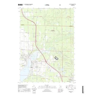
2019 Map of Montague
USGS Topo · Published 2019About this map
White Lake and the White River define the industrial and recreational geography of this West Michigan coastal region. The twin cities of Montague and Whitehall sit at the head of the lake, serving as focal points for the surrounding communities of South Whitehall, Maple Grove, and Lakewood Club. The landscape transitions from these urban centers into the protected acreage of the Manistee National Forest to the north and east, where numerous small water bodies like Owasippe Lake, Biscuit Lake, and Schneider Lake dot the terrain. For those researching local heritage, the map identifies several distinct burial sites including Oak Grove Cem, Oakhurst Cem, and the Old Sprague Cem. Modern infrastructure is represented by Us HWY 31 and the Fred Meijer Berry Junction Trail, which follows an older transportation corridor through the lakeside settlements.
Find a feature on this map
89 named features on this map. Tap any name to fly to it.
Don’t see what you’re looking for? This feature index may not catch every label — zoom into the map to look around manually.
Map Details
Editions of this 2019 Montague Map
This is the sole edition of this map. No revisions or reprints were ever made.
Other maps of this area

1929 · Montague
USGS Topo · 1:48,000

1931 · Hart SE
USGS Topo · 1:31,680

1931 · Walkerville SW
USGS Topo · 1:31,680

1954 · Milwaukee
USGS Topo · 1:250,000

1958 · Milwaukee
USGS Topo · 1:250,000

1958 · Hesperia
USGS Topo · 1:62,500

1958 · Twin Lake
USGS Topo · 1:62,500

1959 · Montague
USGS Topo · 1:62,500

1959 · Hart
USGS Topo · 1:62,500

1976 · Montague NW
USGS Topo · 1:24,000