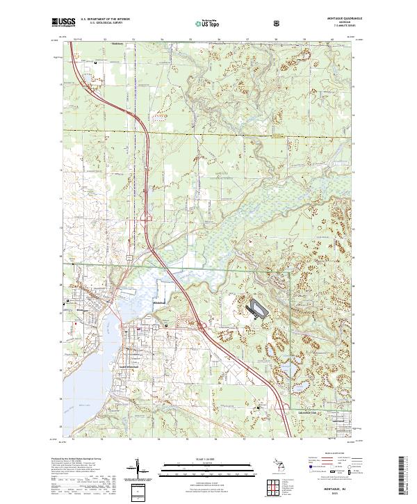
2023 Map of Montague
USGS Topo · Published 2023About this map
White Lake and the White River dominate this coastal landscape, forming the centerpiece for the neighboring communities of Whitehall and Montague. The map shows a well-established grid of residential streets and industrial zones, particularly around South Whitehall and the White Lake shoreline. The area is characterized by numerous inland water bodies, including Owasippe Lake, Austin Lake, and Schneider Lake, which reflect the region's glacial history and its long-standing role as a center for recreation and summer camps.
Find a feature on this map
91 named features on this map. Tap any name to fly to it.
Don’t see what you’re looking for? This feature index may not catch every label — zoom into the map to look around manually.
Map Details
Editions of this 2023 Montague Map
This is the sole edition of this map. No revisions or reprints were ever made.
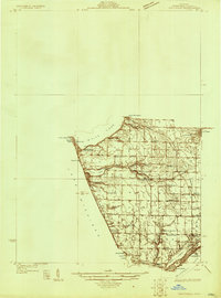
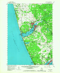
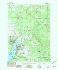
Historical Maps of Dalton Township Through Time
4 maps found