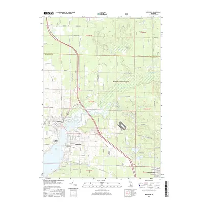
1983 Map of Montague
USGS Topo · Published 1983About this map
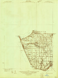
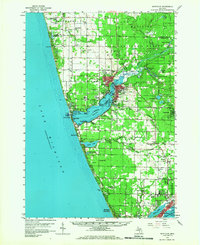
White Lake and the White River define the economic and social heart of this region, separating the twin cities of Montague and Whitehall. This 1983 edition shows the dense residential grids of both towns as they wrap around the water, supported by the Chesapeake and Ohio railroad line cutting through the landscape. The northern half of the map is dominated by the Manistee National Forest, where a network of rural roads like Skeels Road and Fruitvale Rd weave through dense timberland and past numerous small lakes including Schneider Lake and Owasippe Lake. For family historians, the sheet preserves the locations of several burial grounds, including Oakwood Cem in town and the more remote Old Sprague Cem to the east. The presence of Lakewood Club and Fruitvale suggests the area's long-standing character as a destination for both industrial river work and lakeside recreation.
Find a feature on this map
53 named features on this map. Tap any name to fly to it.
Don’t see what you’re looking for? This feature index may not catch every label — zoom into the map to look around manually.
Map Details
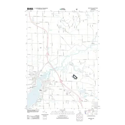
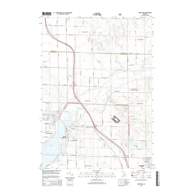
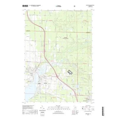
Editions of this 1983 Montague Map
This is the sole edition of this map. No revisions or reprints were ever made.
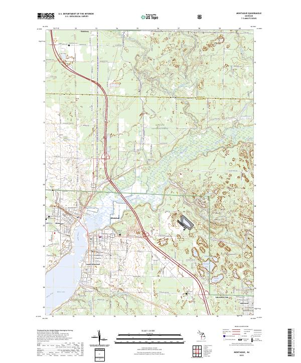
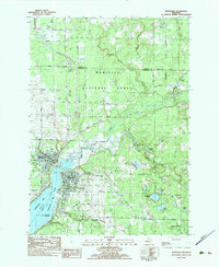
Historical Maps of Whitehall Through Time
8 maps found