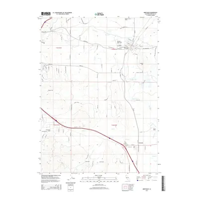
2015 Map of Montague
USGS Topo · Published 2015About this map
The Shasta Valley landscape centers on the historic rail-and-water corridors of Siskiyou County, where the Shasta River and several of its tributaries, including Julien Cr and the Little Shasta River, cross the terrain. The town of Montague serves as a local hub, defined by a dense grid of streets like Ball Mountain Rd and the presence of the Montague Airport-Yreka Rohrer Field. To the south, the settlement of Grenada sits along the primary transportation route, framed by the undulating heights of Gregory Mtn and the Kilgore Hills. Genealogists may find particular value in the locations of the Montague Cemetery and the more remote Julien Cemetery. The map also illustrates the transition from agricultural valley floor to the prominent volcanic-influenced rises such as Butcher Hill, while the Shasta Valley Wildlife Area Rd indicates the region's dedicated conservation lands.
Find a feature on this map
101 named features on this map. Tap any name to fly to it.
Don’t see what you’re looking for? This feature index may not catch every label — zoom into the map to look around manually.
Map Details
Editions of this 2015 Montague Map
This is the sole edition of this map. No revisions or reprints were ever made.
Other maps of this area

1886 · Shasta
USGS Topo · 1:250,000

1894 · Shasta
USGS Topo · 1:250,000

1921 · Shasta Valley Sheet No 6
USGS Topo · 1:24,000

1921 · Shasta Valley Sheet No 2
USGS Topo · 1:24,000

1922 · Shasta Valley Sheet No 4
USGS Topo · 1:24,000

1922 · Shasta Valley Sheet No 3
USGS Topo · 1:24,000

1922 · Shasta Valley Sheet No 3 S
USGS Topo · 1:24,000

1922 · Shasta Valley Sheet No 5
USGS Topo · 1:24,000

1932 · Yreka
USGS Topo · 1:96,000

1934 · Macdoel
USGS Topo · 1:96,000