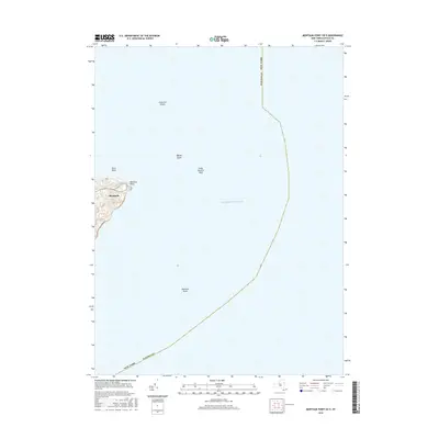
2016 Map of Montauk Point OE E
USGS Topo · Published 2016About this map
Montauk Point stands at the easternmost edge of this coastal survey, where the terrestrial landscape of eastern Long Island gives way to the vast expanse of the Atlantic Ocean. The map centers heavily on maritime hazards and seafloor topography, marking critical underwater features like Great Eastern Rock, Phelps Ledge, and Endeavor Shoals. These named reefs and shoals define the dangerous navigational approach to the point, which has historically necessitated careful charting for the safety of passing vessels.
Find a feature on this map
12 named features on this map. Tap any name to fly to it.
Don’t see what you’re looking for? This feature index may not catch every label — zoom into the map to look around manually.
Map Details
Editions of this 2016 Montauk Point OE E Map
This is the sole edition of this map. No revisions or reprints were ever made.
Other maps of this area

1889 · Block Island
USGS Topo · 1:62,500

1894 · Block Island
USGS Topo · 1:62,500

1899 · Block Island
USGS Topo · 1:62,500

1904 · Montauk
USGS Topo · 1:62,500
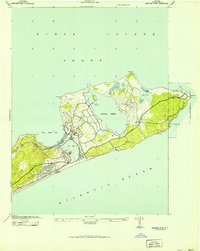
1942 · Montauk Point
USGS Topo · 1:24,000

1942 · Block Island
USGS Topo · 1:125,000

1947 · Providence
USGS Topo · 1:250,000

1948 · Providence
USGS Topo · 1:250,000
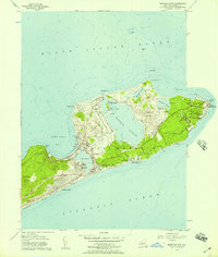
1956 · Montauk Point
USGS Topo · 1:24,000

1957 · Providence
USGS Topo · 1:250,000