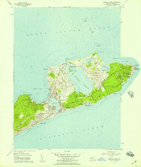
1956 Map of Montauk Point
USGS Topo · Published 1957About this map
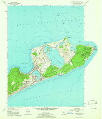
Montauk Point stands at the easternmost tip of Long Island, where the Atlantic Ocean meets Block Island Sound. This mid-century survey reveals a landscape of transition, balancing the quiet fishing and resort character of Montauk Beach with the strategic footprint of the U S Military Reservation Camp Hero. The Long Island Railroad terminates at the Montauk Sta, serving as a vital link for the growing coastal community. Large bodies of water like Fort Pond and Big Reed Pond dominate the interior terrain, while the famous Lighthouse marks the jagged edge of the coast. For those studying local heritage, the map identifies private sporting clubs such as the Montauk Gun Club and Montauk Yacht Club on Star Island, alongside local landmarks like Community Ch and the small settlement at Ditch Plains.
Find a feature on this map
45 named features on this map. Tap any name to fly to it.
Don’t see what you’re looking for? This feature index may not catch every label — zoom into the map to look around manually.
Map Details
Editions of this 1956 Montauk Point Map
2 editions found
Other maps of this area

1903 · Gardiners Island
USGS Topo · 1:62,500

1904 · Easthampton
USGS Topo · 1:62,500

1904 · Gardiners Island
USGS Topo · 1:62,500

1904 · Montauk
USGS Topo · 1:62,500

1921 · Gardiners Island
USGS Topo · 1:62,500

1921 · Easthampton
USGS Topo · 1:62,500
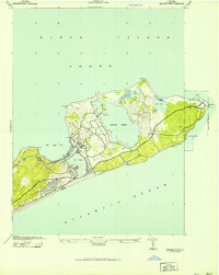
1942 · Montauk Point
USGS Topo · 1:24,000

1942 · Block Island
USGS Topo · 1:125,000

1943 · Gardiners Island East
USGS Topo · 1:24,000
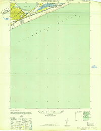
1947 · Napeague Beach
USGS Topo · 1:24,000
Featured Places
- East Hampton, NY
- Montauk, East Hampton
- Montauk Beach, Montauk
- Ditch Plains, Montauk
- Montauk Station, Montauk