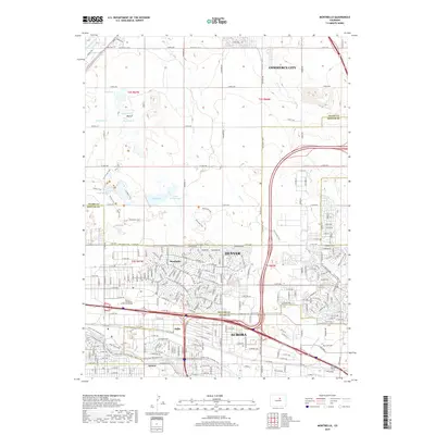
2019 Map of Montbello
USGS Topo · Published 2019About this map
Montbello and its surrounding suburbs represent a complex intersection of urban residential growth and protected open spaces on the outskirts of Denver and Aurora. The landscape is defined by its water management systems, including the O'Brian Canal, High Line Canal, and several reservoirs such as Reservoir C Basin F. These water features are complemented by an extensive network of recreational paths like the Sand Creek Greenway Trail and First Creek Trail, which navigate through the industrial and residential corridors.
Find a feature on this map
39 named features on this map. Tap any name to fly to it.
Don’t see what you’re looking for? This feature index may not catch every label — zoom into the map to look around manually.
Map Details
Editions of this 2019 Montbello Map
This is the sole edition of this map. No revisions or reprints were ever made.
Other maps of this area

1890 · East Denver
USGS Topo · 1:125,000

1935 · East Denver Nos. 3 and 4
USGS Topo · 1:48,000

1938 · Derby
USGS Topo · 1:24,000

1938 · Long Branch
USGS Topo · 1:24,000

1939 · Coal Creek
USGS Topo · 1:24,000

1940 · Brighton
USGS Topo · 1:31,680

1940 · Englewood
USGS Topo · 1:31,680

1940 · Eastlake
USGS Topo · 1:31,680

1940 · Derby
USGS Topo · 1:31,680

1941 · Long Branch
USGS Topo · 1:31,680