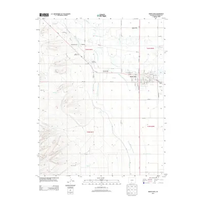
2013 Map of Monte Vista
USGS Topo · Published 2013About this map
The Rio Grande defines the agricultural and water-management landscape of this high-elevation valley near Monte Vista. A complex network of irrigation infrastructure radiates from the river, including the Monte Vista Canal, Rio Grande and Sun Luis Canal, and Anderson Ditch, which support the surrounding farms. The town of Monte Vista serves as the hub, detailed with its grid of streets such as N Broadway St and Grande Ave.
Find a feature on this map
77 named features on this map. Tap any name to fly to it.
Don’t see what you’re looking for? This feature index may not catch every label — zoom into the map to look around manually.
Map Details
Editions of this 2013 Monte Vista Map
This is the sole edition of this map. No revisions or reprints were ever made.
Other maps of this area
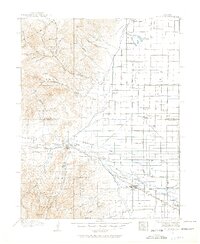
1915 · Del Norte
USGS Topo · 1:125,000
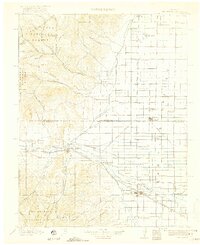
1917 · Del Norte
USGS Topo · 1:125,000
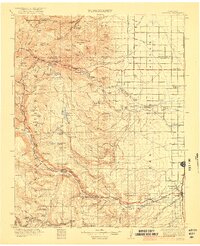
1922 · Conejos
USGS Topo · 1:125,000
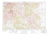
1945 · Durango
USGS Topo · 1:250,000
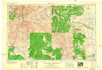
1953 · Durango
USGS Topo · 1:250,000
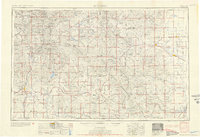
1954 · Durango
USGS Topo · 1:250,000
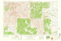
1961 · Durango
USGS Topo · 1:250,000
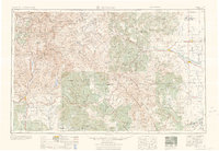
1963 · Durango
USGS Topo · 1:250,000
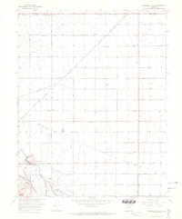
1964 · Sevenmile Plaza
USGS Topo · 1:24,000
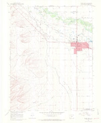
1964 · Monte Vista
USGS Topo · 1:24,000