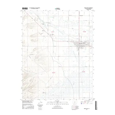
2016 Map of Monte Vista
USGS Topo · Published 2016About this map
Monte Vista serves as the central hub for this high-altitude San Luis Valley agricultural corridor, where an intricate network of waterways like the Monte Vista Canal and Anderson Ditch redirect the flow of the Rio Grande to support the surrounding fields. The landscape is defined by this complex irrigation system, which includes the Rio Grande and Piedra Valley Canal and Consolidated Slough, tracing the transition from the flat valley floor to the rising terrain of Nicomodes Gulch and Raton Cr.
Find a feature on this map
82 named features on this map. Tap any name to fly to it.
Don’t see what you’re looking for? This feature index may not catch every label — zoom into the map to look around manually.
Map Details
Editions of this 2016 Monte Vista Map
This is the sole edition of this map. No revisions or reprints were ever made.
Other maps of this area

1915 · Del Norte
USGS Topo · 1:125,000

1917 · Del Norte
USGS Topo · 1:125,000

1922 · Conejos
USGS Topo · 1:125,000

1945 · Durango
USGS Topo · 1:250,000

1953 · Durango
USGS Topo · 1:250,000

1954 · Durango
USGS Topo · 1:250,000

1961 · Durango
USGS Topo · 1:250,000

1963 · Durango
USGS Topo · 1:250,000

1964 · Sevenmile Plaza
USGS Topo · 1:24,000

1964 · Monte Vista
USGS Topo · 1:24,000