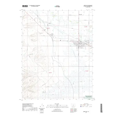
2019 Map of Monte Vista
USGS Topo · Published 2019About this map
The city of Monte Vista serves as the hub for this agricultural landscape, where an intricate network of irrigation systems like the Monte Vista Canal and the Rio Grande and Lariat Canal crisscross the valley floor. These waterways, fed by the Rio Grande, define the settlement patterns and field boundaries of Rio Grande County. The importance of local heritage is evident in the cluster of burial grounds nearby, including San Luis Valley Cem, Monte Vista Cem, and Lariat Cem, providing essential points of interest for genealogical research.
Find a feature on this map
80 named features on this map. Tap any name to fly to it.
Don’t see what you’re looking for? This feature index may not catch every label — zoom into the map to look around manually.
Map Details
Editions of this 2019 Monte Vista Map
This is the sole edition of this map. No revisions or reprints were ever made.
Other maps of this area
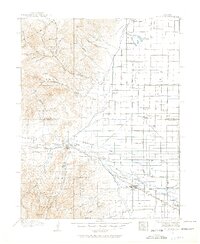
1915 · Del Norte
USGS Topo · 1:125,000
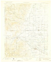
1917 · Del Norte
USGS Topo · 1:125,000
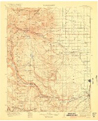
1922 · Conejos
USGS Topo · 1:125,000
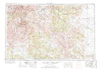
1945 · Durango
USGS Topo · 1:250,000
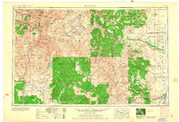
1953 · Durango
USGS Topo · 1:250,000
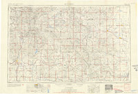
1954 · Durango
USGS Topo · 1:250,000
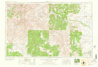
1961 · Durango
USGS Topo · 1:250,000
1963 · Durango
USGS Topo · 1:250,000
1964 · Sevenmile Plaza
USGS Topo · 1:24,000
1964 · Monte Vista
USGS Topo · 1:24,000