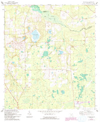
1966 Map of Monteocha
USGS Topo · Published 1993About this map
The Santa Fe River meanders along the Bradford Co Alachua Co line, defining a landscape of low-lying wetlands and scattered rural settlements. During the mid-1960s, this area north of Gainesville maintained a strong network of country congregations and cemeteries, such as Old Jerusalem Ch and Rhuda Branch Cem. The map reveals a transition from the dense, saturated terrain of Mud Swamp to the more navigable lands near Monteocha.
Find a feature on this map
21 named features on this map. Tap any name to fly to it.
Don’t see what you’re looking for? This feature index may not catch every label — zoom into the map to look around manually.
Map Details
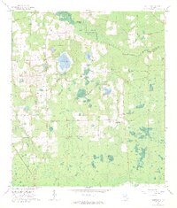
Editions of this 1966 Monteocha Map
2 editions found
Other maps of this area

1890 · Arredondo
USGS Topo · 1:62,500

1892 · Arredondo
USGS Topo · 1:62,500

1894 · Arredondo
USGS Topo · 1:62,500

1938 · Hawthorn
USGS Topo · 1:48,000

1941 · Starke
USGS Topo · 1:62,500

1943 · Hawthorn
USGS Topo · 1:62,500

1948 · Starke
USGS Topo · 1:50,000

1949 · Sampson
USGS Topo · 1:24,000

1949 · Waldo
USGS Topo · 1:24,000

1949 · Starke
USGS Topo · 1:62,500