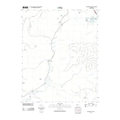
2010 Map of Monterey Lake
USGS Topo · Published 2010About this map
The Calfkiller River carves a central path through this section of the Cumberland Plateau, surrounded by a complex system of coves and hollows that define the local geography. Significant water management is evident in the northeast near Camp Monterey, where Monterey Lake Dam Number One and Monterey Lake Dam Number Two regulate the waters of Monterey Lake. This area shows a transition from the structured recreational spaces of the north to the more dispersed rural landscape of the south.
Find a feature on this map
64 named features on this map. Tap any name to fly to it.
Don’t see what you’re looking for? This feature index may not catch every label — zoom into the map to look around manually.
Map Details
Editions of this 2010 Monterey Lake Map
This is the sole edition of this map. No revisions or reprints were ever made.
Other maps of this area

1892 · Pikeville
USGS Topo · 1:125,000

1895 · Pikeville
USGS Topo · 1:125,000

1897 · Standingstone
USGS Topo · 1:125,000

1898 · Standingstone
USGS Topo · 1:125,000

1912 · Crossville
USGS Topo · 1:62,500

1935 · Campbell Junction
USGS Topo · 1:24,000

1943 · Cookeville
USGS Topo · 1:100,000

1944 · Cookeville
USGS Topo · 1:100,000

1946 · Campbell Junction
USGS Topo · 1:24,000

1946 · Obey City
USGS Topo · 1:24,000