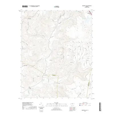
2019 Map of Monterey Lake
USGS Topo · Published 2019About this map
Calfkiller River winds through this rugged portion of the Cumberland Plateau, where the borders of Putnam, White, and Cumberland counties converge. The topography is defined by deep incisions like England Cove, Davidson Cove, and Long Hollow, which create a complex network of ridges and basins. Near the town of Monterey, Monterey Lake Number One sits atop the plateau, serving as a significant water feature for the highland community.
Find a feature on this map
93 named features on this map. Tap any name to fly to it.
Don’t see what you’re looking for? This feature index may not catch every label — zoom into the map to look around manually.
Map Details
Editions of this 2019 Monterey Lake Map
This is the sole edition of this map. No revisions or reprints were ever made.
Other maps of this area

1892 · Pikeville
USGS Topo · 1:125,000

1895 · Pikeville
USGS Topo · 1:125,000

1897 · Standingstone
USGS Topo · 1:125,000

1898 · Standingstone
USGS Topo · 1:125,000

1912 · Crossville
USGS Topo · 1:62,500

1935 · Campbell Junction
USGS Topo · 1:24,000

1943 · Cookeville
USGS Topo · 1:100,000

1944 · Cookeville
USGS Topo · 1:100,000

1946 · Campbell Junction
USGS Topo · 1:24,000

1946 · Obey City
USGS Topo · 1:24,000