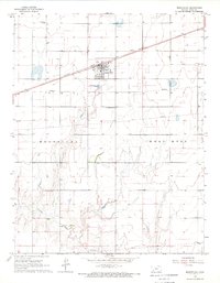
1968 Map of Montezuma
USGS Topo · Published 1969About this map
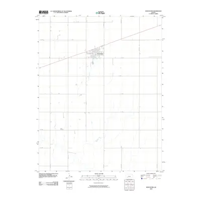
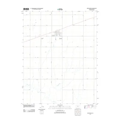
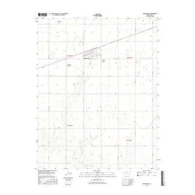
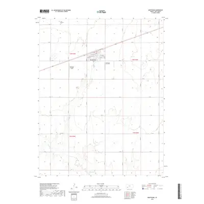
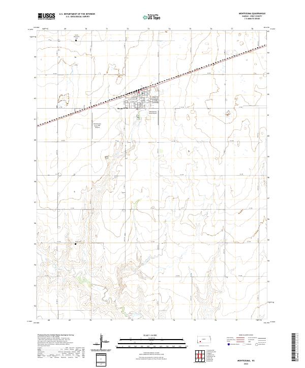
Montezuma serves as the central hub of this High Plains landscape, situated along the prominent Atchison Topeka and Santa Fe railroad line. The map illustrates a region defined by agricultural organization and early industrial infrastructure, including a network of subsurface pipelines and a notable Silica Pit located to the south. The rural character of Gray County is emphasized by established religious and community sites such as the Church of God in Christ and Gospel Fellowship Ch, which provided social anchors for the surrounding farmsteads in the late 1960s.
Find a feature on this map
11 named features on this map. Tap any name to fly to it.
Don’t see what you’re looking for? This feature index may not catch every label — zoom into the map to look around manually.
Map Details
Editions of this 1968 Montezuma Map
This is the sole edition of this map. No revisions or reprints were ever made.
Historical Maps of Montezuma Through Time
6 maps found