
1968 Map of Montezuma NW
USGS Topo · Published 1969About this map
Gray Center serves as a focal point in this 1960s landscape, positioned near the intersection of several township boundaries including Ingalls and Cimarron. The terrain is defined by a dense concentration of depressional features and numerous Well sites, reflecting the agricultural and hydrological management typical of Gray County. Human activity and infrastructure are further marked by a prominent Pipeline cutting diagonally across the northwestern sections and a Radio Tower to the south. Local history and genealogy are anchored by the presence of Fairview Cem in the West Hess township area. The intricate network of field and fence lines, meticulously captured from 1966 aerial photography, reveals the established land-use patterns across the Montezuma and surrounding districts during this era.
Find a feature on this map
9 named features on this map. Tap any name to fly to it.
Don’t see what you’re looking for? This feature index may not catch every label — zoom into the map to look around manually.
Map Details
Editions of this 1968 Montezuma NW Map
This is the sole edition of this map. No revisions or reprints were ever made.
Other maps of this area

1892 · Dodge
USGS Topo · 1:125,000

1896 · Garden
USGS Topo · 1:125,000

1955 · Dodge City
USGS Topo · 1:250,000

1958 · Dodge City
USGS Topo · 1:250,000

1959 · Dodge City
USGS Topo · 1:250,000

1968 · Montezuma
USGS Topo · 1:24,000

1968 · Ingalls
USGS Topo · 1:24,000

1968 · Cimarron
USGS Topo · 1:24,000
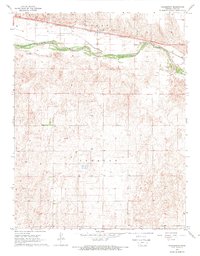
1968 · Charleston
USGS Topo · 1:24,000
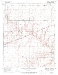
1969 · Copeland SE
USGS Topo · 1:24,000