1968 Map of Ingalls
USGS Topo · Published 1969About this map
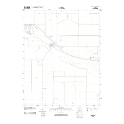
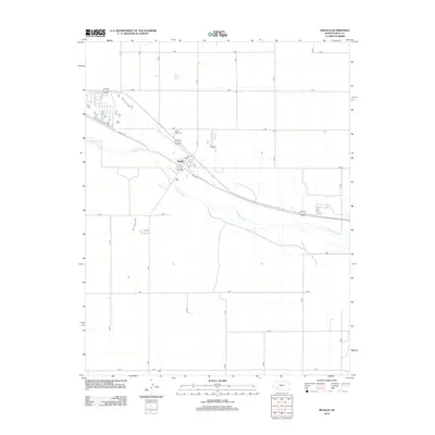
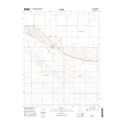
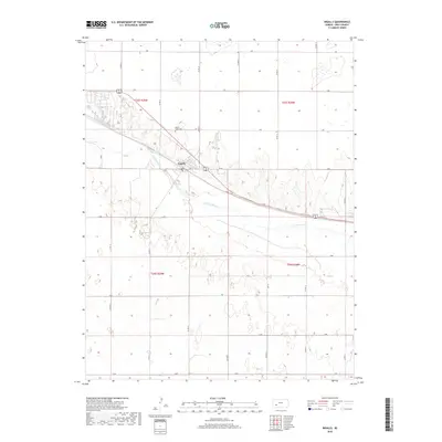
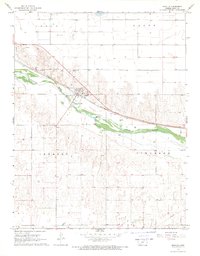
Ingalls serves as the focal point of this late-1960s survey, situated along the north bank of the Arkansas River. The settlement's layout is defined by its relationship to the Atchison Topeka and Santa Fe railroad, which runs parallel to the water through the center of town. The surrounding terrain is divided into the administrative sections of Logan, Foote, Ingalls, and Cimarron, reflecting a structured agricultural and ranching landscape. Evidence of local industry is visible through the presence of a Feed Lot to the northwest and resource extraction sites like a Gravel Pit and Sandpit. For genealogists, the Ingalls-Logan Cem is clearly marked north of the town center, providing a specific point of interest for family history research in Gray County.
Find a feature on this map
18 named features on this map. Tap any name to fly to it.
Don’t see what you’re looking for? This feature index may not catch every label — zoom into the map to look around manually.
Map Details
Editions of this 1968 Ingalls Map
This is the sole edition of this map. No revisions or reprints were ever made.
Historical Maps of Ingalls Through Time
6 maps found