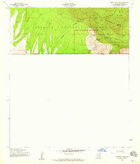
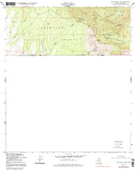
1958 Map of Montezuma Pass
USGS Topo · Published 1959About this map
The southern end of the Huachuca Mountains meets the international border in this late 1950s survey. Much of the land is preserved within the Coronado National Forest and the Coronado National Memorial, marking the rugged terrain where the United States Mexico boundary line stretches across One Hundred three Mesa. The map serves as a detailed record of high-altitude mining activity, featuring numerous entries for shafts, tunnels, and prospects scattered near Montezuma Pass.
Find a feature on this map
30 named features on this map. Tap any name to fly to it.
Don’t see what you’re looking for? This feature index may not catch every label — zoom into the map to look around manually.
Map Details
Editions of this 1958 Montezuma Pass Map
5 editions found
Other maps of this area

1914 · Hereford
USGS Topo · 1:125,000

1922 · Sunnyside
USGS Topo · 1:62,500

1932 · Stark
USGS Topo · 1:62,500

1938 · Sunnyside
USGS Topo · 1:62,500

1948 · Huachuca Peak
USGS Topo · 1:24,000

1948 · Miller Peak
USGS Topo · 1:24,000

1948 · Sunnyside SE
USGS Topo · 1:24,000
1948 · Sunnyside SW
USGS Topo · 1:24,000
1948 · Sunnyside
USGS Topo · 1:62,500
1952 · Nicksville
USGS Topo · 1:24,000