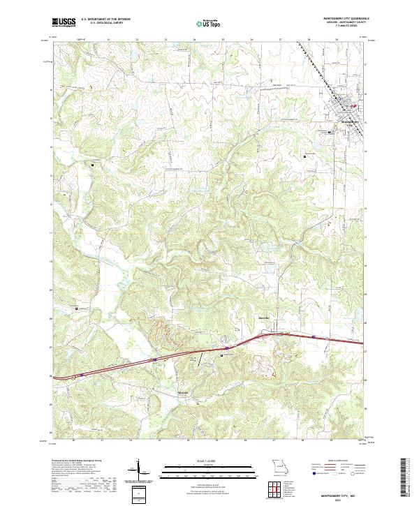
2021 Map of Montgomery City
USGS Topo · Published 2021About this map
Montgomery City serves as the primary hub of this Missouri landscape, where the County Courthouse stands near the intersection of several local routes. The settlement pattern reflects the area's agricultural and rural heritage, with smaller communities like Danville and Mineola situated to the south. The terrain is deeply etched by a network of waterways, most notably the Loutre River and its numerous tributaries such as Whetstone Cr and Clear Fork. These streams create a complex drainage system that has historically influenced road placement and property boundaries.
Find a feature on this map
117 named features on this map. Tap any name to fly to it.
Don’t see what you’re looking for? This feature index may not catch every label — zoom into the map to look around manually.
Map Details
Editions of this 2021 Montgomery City Map
This is the sole edition of this map. No revisions or reprints were ever made.
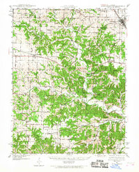
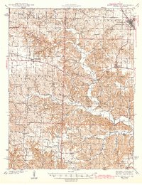
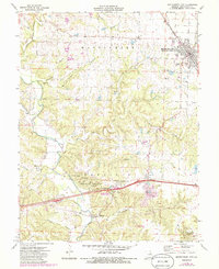
Historical Maps of Montgomery City Through Time
4 maps found