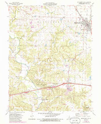
1973 Map of Montgomery City
USGS Topo · Published 1986About this map
Graham Cave State Park and the adjacent Graham Cave anchor the southern portion of this landscape, where the ancient archaeological site overlooks the Loutre River valley. This 1970s survey captures the area at a point of modern transition, showing the path of Interstate 70 cutting through the historic towns of Danville and Mineola. To the north, Montgomery City serves as the primary hub, its grid structured along the Norfolk and Western railroad line.
Find a feature on this map
40 named features on this map. Tap any name to fly to it.
Don’t see what you’re looking for? This feature index may not catch every label — zoom into the map to look around manually.
Map Details
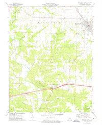
Editions of this 1973 Montgomery City Map
2 editions found
Other maps of this area

1890 · Louisiana
USGS Topo · 1:125,000

1890 · Mexico
USGS Topo · 1:125,000

1890 · Hermann
USGS Topo · 1:125,000

1890 · Fulton
USGS Topo · 1:125,000

1940 · Montgomery City
USGS Topo · 1:62,500

1942 · Montgomery City
USGS Topo · 1:62,500

1942 · Wellsville
USGS Topo · 1:62,500

1942 · New Florence
USGS Topo · 1:62,500

1942 · Bellflower
USGS Topo · 1:62,500

1945 · Bellflower
USGS Topo · 1:62,500