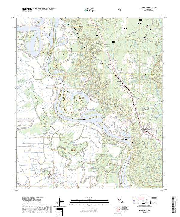
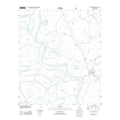
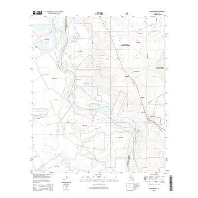
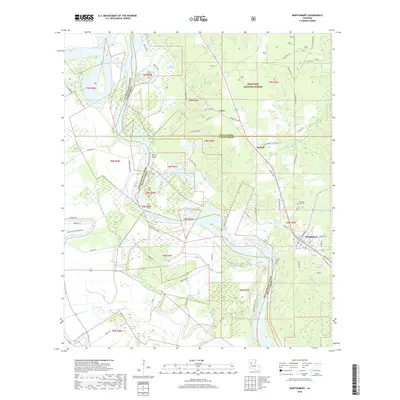
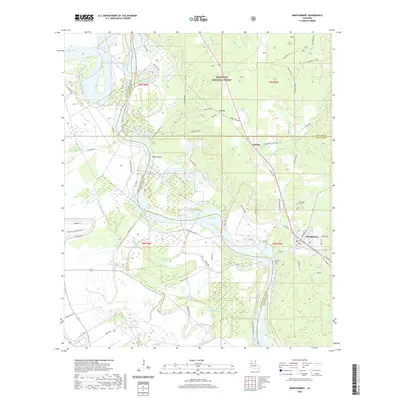
2024 Map of Montgomery
USGS Topo · Published 2024About this map
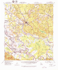
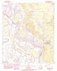
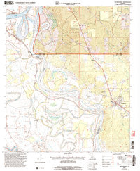
The Red River meanders through this landscape, defining the boundaries between Natchitoches, Winn, and Grant Parishes. The town of Montgomery serves as a local hub on the eastern bank, connected to the western wetlands by the Montgomery Ferry. This area is characterized by a complex network of waterways, including Little River, Quinn Brake, and numerous bayous such as Bayou Cognac and Bayou des Glaizes, illustrating the delta-like terrain of central Louisiana.
Find a feature on this map
77 named features on this map. Tap any name to fly to it.
Don’t see what you’re looking for? This feature index may not catch every label — zoom into the map to look around manually.
Map Details
Editions of this 2024 Montgomery Map
This is the sole edition of this map. No revisions or reprints were ever made.
Historical Maps of Montgomery Through Time
11 maps found
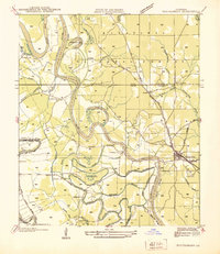
1937 Montgomery
Grant Parish, LA
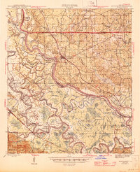
1942 Montgomery
Grant Parish, LA
1945 Montgomery
Grant Parish, LA
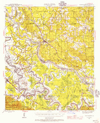
1957 Montgomery
Grant Parish, LA
1983 Montgomery
Grant Parish, LA
2003 Montgomery
Grant Parish, LA
2012 Montgomery
Grant Parish, LA
2015 Montgomery
Grant Parish, LA
2018 Montgomery
Grant Parish, LA
2020 Montgomery
Grant Parish, LA
2024 Montgomery
Grant Parish, LA