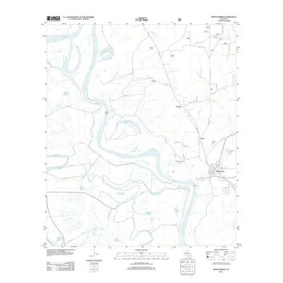
1957 Map of Montgomery
USGS Topo · Published 1979About this map
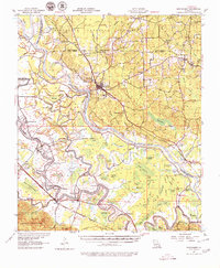
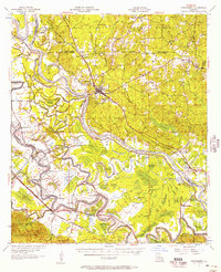
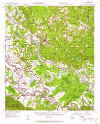
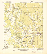
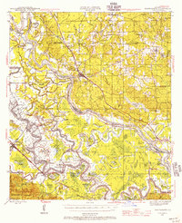
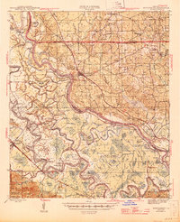
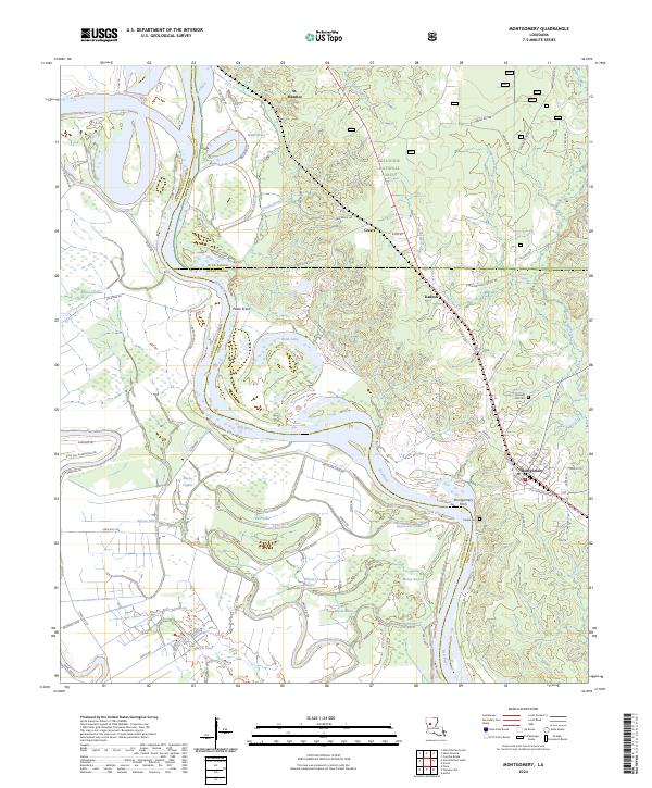
The Red River and its winding oxbows dominate this mid-century portrait of Central Louisiana, where the border of Natchitoches and Winn Parishes follows the shifting water. The settlement at Montgomery sits as a central hub, flanked by the Kansas City Southern railroad and several country churches like Mt Vernon Ch and Union Grove Ch. The landscape is a complex network of bayous and lakes, including the elongated Cane River Lake and the secluded Hertcog Swamp. Numerous small schools and parochial landmarks, such as St Matthews Sch and St Josephs Sch, suggest a rural population deeply tied to local parishes and townships. This survey captures the region after aerial revisions in the late 1950s, documenting the intricate drainage patterns of the Kisatchie National Forest and the river-bottom economy of Cloutierville and Melrose.
Find a feature on this map
112 named features on this map. Tap any name to fly to it.
Don’t see what you’re looking for? This feature index may not catch every label — zoom into the map to look around manually.
Map Details
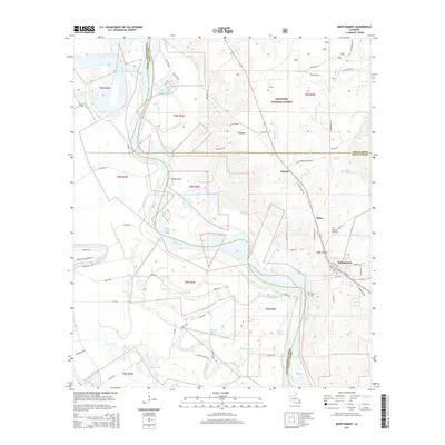
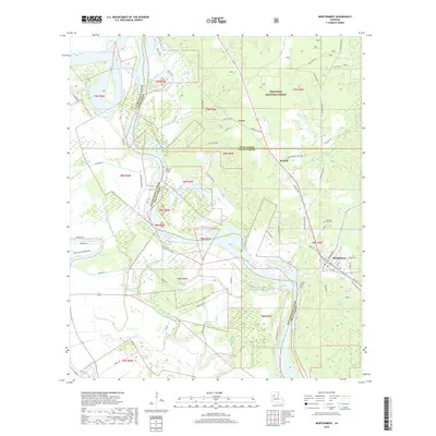
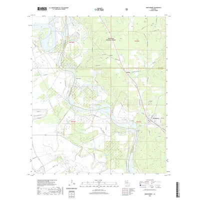
Editions of this 1957 Montgomery Map
3 editions found
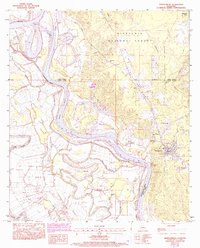
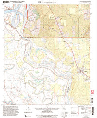
Historical Maps of Montgomery Through Time
11 maps found
1937 Montgomery
Grant Parish, LA
1942 Montgomery
Grant Parish, LA
1945 Montgomery
Grant Parish, LA
1957 Montgomery
Grant Parish, LA
1983 Montgomery
Grant Parish, LA
2003 Montgomery
Grant Parish, LA
2012 Montgomery
Grant Parish, LA
2015 Montgomery
Grant Parish, LA
2018 Montgomery
Grant Parish, LA
2020 Montgomery
Grant Parish, LA
2024 Montgomery
Grant Parish, LA