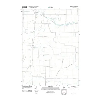
2010 Map of Monticello
USGS Topo · Published 2010About this map
Monticello anchors the northern edge of this Green County landscape, where the West Branch Little Sugar River and Little Sugar River converge. The terrain is defined by a dense network of watercourses, including Hammerly Creek and Sylvester Creek, which drain the agricultural lands between the smaller settlements of Schultz and Stearns. The conversion of former rail corridors into recreational paths is evident in the Sugar River State Trl and Badger State Trl, which intersect the traditional road grid of routes like County Hwy-EE and County Hwy-FF. For those tracing local heritage, the map identifies significant burial sites including Highland Cemetery near the main town and the more isolated Dutch Hollow Cemetery located along Dutch Hollow Rd. The naming of waterways such as Elmer School Branch and Silver School Branch preserves the locations of vanished rural school districts within the modern township structure.
Find a feature on this map
57 named features on this map. Tap any name to fly to it.
Don’t see what you’re looking for? This feature index may not catch every label — zoom into the map to look around manually.
Map Details
Editions of this 2010 Monticello Map
This is the sole edition of this map. No revisions or reprints were ever made.
Other maps of this area

1889 · Evansville
USGS Topo · 1:62,500

1893 · Brodhead
USGS Topo · 1:62,500

1894 · Evansville
USGS Topo · 1:62,500

1906 · Evansville
USGS Topo · 1:62,500

1920 · Monroe
USGS Topo · 1:62,500

1922 · Monroe
USGS Topo · 1:62,500

1923 · New Glarus
USGS Topo · 1:62,500

1954 · Rockford
USGS Topo · 1:250,000

1955 · Rockford
USGS Topo · 1:250,000

1958 · Rockford
USGS Topo · 1:250,000