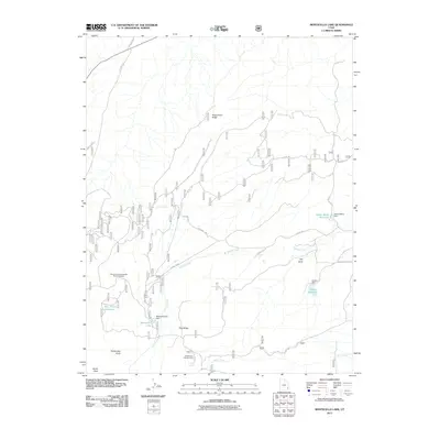
2011 Map of Monticello Lake
USGS Topo · Published 2011About this map
Monticello Lake serves as a central hydrological feature in this high-altitude corner of San Juan County, supported by a network of containment structures including the Monticello Lake Dam, Upper Bailey Dam, and Gordon Dam. The 2011 survey reveals an landscape defined by water management and recreational utility, where named springs such as Jackson Spring and Taylor Spring feed seasonal drainages like Spring Creek and North Creek. These water sources are critical in an area characterized by prominent landforms such as Peters Point Ridge and Pine Ridge. The map also highlights the intersection of public lands and transit, featuring the Buckboard Campground and the Harts Draw-Canyonlands Point of Interest along the winding Harts Draw Rd. This documentation provides a clear look at the infrastructure required to sustain ranching and recreation in the Utah high country.
Find a feature on this map
24 named features on this map. Tap any name to fly to it.
Don’t see what you’re looking for? This feature index may not catch every label — zoom into the map to look around manually.
Map Details
Editions of this 2011 Monticello Lake Map
This is the sole edition of this map. No revisions or reprints were ever made.
Other maps of this area

1885 · La Sal
USGS Topo · 1:250,000

1886 · Abajo
USGS Topo · 1:250,000

1892 · Abajo
USGS Topo · 1:250,000

1893 · Abajo
USGS Topo · 1:250,000

1935 · Elk Ridge
USGS Topo · 1:96,000

1940 · Elk Ridge
USGS Topo · 1:125,000

1954 · Elk Ridge 1 NE
USGS Topo · 1:24,000

1954 · Elk Ridge 1 SE
USGS Topo · 1:24,000

1954 · Mt Peale 3 SW
USGS Topo · 1:24,000

1954 · Mt Peale 3 SE
USGS Topo · 1:24,000