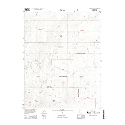
2014 Map of Monticello Lake
USGS Topo · Published 2014About this map
The eastern slopes of the Abajo Mountains define the character of this high-desert landscape in San Juan County. Dominated by the Manti-LaSal National Forest, the terrain is marked by a complex system of drainage and water management necessary for the arid region. Notable water features include Monticello Lake, the Gordon Reservoir, and the Upper Bailey Reservoir, which sit among deep incisions in the earth like Big Canyon and Bridge Canyon. The map reveals a network of land management and transportation, from the high elevation of Peters Point Ridge to the rural utility of Spring Creek Rd and Hart Point Rd. This 2014 survey serves as a precise record of the hydrologic and topographic features that support the surrounding high-altitude ecosystem, including various springs such as Jackson Spring and Taylor Spring that feed into North Cr.
Find a feature on this map
37 named features on this map. Tap any name to fly to it.
Don’t see what you’re looking for? This feature index may not catch every label — zoom into the map to look around manually.
Map Details
Editions of this 2014 Monticello Lake Map
This is the sole edition of this map. No revisions or reprints were ever made.
Other maps of this area

1885 · La Sal
USGS Topo · 1:250,000

1886 · Abajo
USGS Topo · 1:250,000

1892 · Abajo
USGS Topo · 1:250,000

1893 · Abajo
USGS Topo · 1:250,000

1935 · Elk Ridge
USGS Topo · 1:96,000

1940 · Elk Ridge
USGS Topo · 1:125,000

1954 · Elk Ridge 1 NE
USGS Topo · 1:24,000

1954 · Elk Ridge 1 SE
USGS Topo · 1:24,000

1954 · Mt Peale 3 SW
USGS Topo · 1:24,000

1954 · Mt Peale 3 SE
USGS Topo · 1:24,000