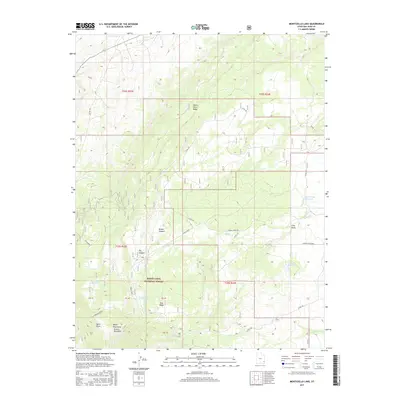
2017 Map of Monticello Lake
USGS Topo · Published 2017About this map
Manti-Lasal National Forest anchors the high-altitude topography of this San Juan County landscape, where the drainage systems of Spring Creek and North Creek shape the descent from the Abajo Mountains Prairie Dog Knoll. The 2017 terrain is defined by a series of water management features essential for high-desert land use, including the notable Monticello Lake, the Gordon Reservoir, and the Race Track Reservoir. Transport through this vertical environment relies on a network of back-country routes such as Spring Creek Road and County Road 160, which navigate around prominent landmarks like Peters Point Ridge and Pine Ridge. The map details the complex physical geography of Peters Canyon and Big Canyon, illustrating how springs like Jackson Spring and Taylor Spring provide critical water points in an otherwise arid plateau.
Find a feature on this map
31 named features on this map. Tap any name to fly to it.
Don’t see what you’re looking for? This feature index may not catch every label — zoom into the map to look around manually.
Map Details
Editions of this 2017 Monticello Lake Map
This is the sole edition of this map. No revisions or reprints were ever made.
Other maps of this area

1885 · La Sal
USGS Topo · 1:250,000

1886 · Abajo
USGS Topo · 1:250,000

1892 · Abajo
USGS Topo · 1:250,000

1893 · Abajo
USGS Topo · 1:250,000

1935 · Elk Ridge
USGS Topo · 1:96,000

1940 · Elk Ridge
USGS Topo · 1:125,000

1954 · Elk Ridge 1 NE
USGS Topo · 1:24,000

1954 · Elk Ridge 1 SE
USGS Topo · 1:24,000

1954 · Mt Peale 3 SW
USGS Topo · 1:24,000

1954 · Mt Peale 3 SE
USGS Topo · 1:24,000