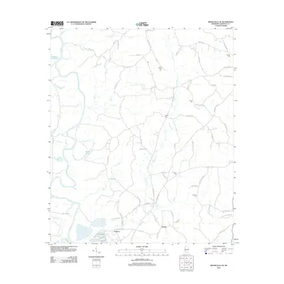
2012 Map of Monticello NE
USGS Topo · Published 2012About this map
The Pearl River winds through the western reaches of Lawrence County, Mississippi, shaping a landscape defined by its floodplains and tributary creeks. This 2012 survey captures the rural character of the area around the settlements of Ferguson and Hooker, where small family-named cemeteries such as North Pleasant Hill Cem, Cliburn Cem, and Stephens Cem provide significant genealogical markers for local history researchers. The presence of Sills Ferry Rd hints at historic river crossings that once linked these isolated communities across the water. Large oxbow features like Sutton Lake and Cammack-Young Lake illustrate the river's shifting path over time. The map's dense network of roads, including Fergerson Mill Rd and Ray Cliburn Rd, connects numerous homesteads and agricultural tracts, reflecting the enduring rural settlement patterns of the Piney Woods region.
Find a feature on this map
75 named features on this map. Tap any name to fly to it.
Don’t see what you’re looking for? This feature index may not catch every label — zoom into the map to look around manually.
Map Details
Editions of this 2012 Monticello NE Map
This is the sole edition of this map. No revisions or reprints were ever made.
Other maps of this area

1953 · Hattiesburg
USGS Topo · 1:250,000

1953 · Natchez
USGS Topo · 1:250,000

1956 · Natchez
USGS Topo · 1:250,000

1958 · Hattiesburg
USGS Topo · 1:250,000

1959 · Natchez
USGS Topo · 1:250,000

1970 · Prentiss West
USGS Topo · 1:24,000

1970 · Monticello
USGS Topo · 1:24,000

1970 · New Hebron
USGS Topo · 1:24,000

1970 · Nola
USGS Topo · 1:24,000

1971 · Schley
USGS Topo · 1:24,000