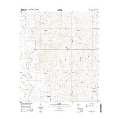
2015 Map of Monticello NE
USGS Topo · Published 2015About this map
The Pearl River winds through the western reaches of this Lawrence County landscape, creating a broad floodplain characterized by oxbows like Sutton Lake and Cammack-Young Lake. Near the southern border, the settlement of Ferguson sits along the rail line, while the community of Hooker is situated further east. This area is defined by a dense network of local roads named for prominent families and landmarks, such as Sills Ferry Rd and Billy Newsom Rd, reflecting a long-standing rural settlement pattern.
Find a feature on this map
71 named features on this map. Tap any name to fly to it.
Don’t see what you’re looking for? This feature index may not catch every label — zoom into the map to look around manually.
Map Details
Editions of this 2015 Monticello NE Map
This is the sole edition of this map. No revisions or reprints were ever made.
Other maps of this area

1953 · Hattiesburg
USGS Topo · 1:250,000

1953 · Natchez
USGS Topo · 1:250,000

1956 · Natchez
USGS Topo · 1:250,000

1958 · Hattiesburg
USGS Topo · 1:250,000

1959 · Natchez
USGS Topo · 1:250,000

1970 · Prentiss West
USGS Topo · 1:24,000

1970 · Monticello
USGS Topo · 1:24,000

1970 · New Hebron
USGS Topo · 1:24,000

1970 · Nola
USGS Topo · 1:24,000

1971 · Schley
USGS Topo · 1:24,000