
1966 Map of Monticello North
USGS Topo · Published 1967About this map
Monticello serves as the focal point of this mid-1960s study, revealing a developing road network with named thoroughfares like Jefferson and Whaley streets. The town's civic core is clearly defined, featuring the Courthouse, Hosp, and High Sch, alongside an established Missouri Pacific railroad corridor. To the north and west, the landscape transitions into a mix of small settlements and rural landmarks, including Gaster Hill and Rose Hill.
Find a feature on this map
43 named features on this map. Tap any name to fly to it.
Don’t see what you’re looking for? This feature index may not catch every label — zoom into the map to look around manually.
Map Details
Editions of this 1966 Monticello North Map
This is the sole edition of this map. No revisions or reprints were ever made.
Other maps of this area

1935 · Feenyville
USGS Topo · 1:62,500

1935 · Cominto
USGS Topo · 1:62,500

1935 · Rotan
USGS Topo · 1:62,500

1953 · Greenwood
USGS Topo · 1:250,000

1956 · Greenwood
USGS Topo · 1:250,000

1960 · Collins NW
USGS Topo · 1:24,000

1960 · Collins
USGS Topo · 1:62,500

1960 · Cominto
USGS Topo · 1:24,000
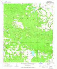
1964 · Tyro
USGS Topo · 1:24,000
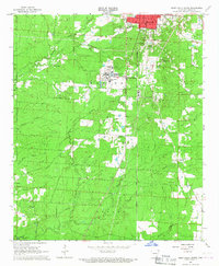
1966 · Monticello South
USGS Topo · 1:24,000