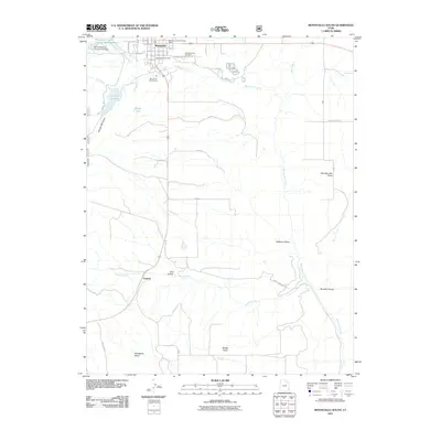
2011 Map of Monticello South
USGS Topo · Published 2011About this map
Monticello anchors the northern edge of this Utah survey, where the street grid fans out from W Center St and S Main St. The town's civic infrastructure is well-defined, including the Monticello Post Office, the Monticello City Cemetery, and the Monticello District Ranger Office. To the west, the water management system for the community is visible through the Monticello City Number One Dam and its corresponding Reservoir, which feed into the rugged drainage of North Creek.
Find a feature on this map
53 named features on this map. Tap any name to fly to it.
Don’t see what you’re looking for? This feature index may not catch every label — zoom into the map to look around manually.
Map Details
Editions of this 2011 Monticello South Map
This is the sole edition of this map. No revisions or reprints were ever made.
Other maps of this area

1886 · Abajo
USGS Topo · 1:250,000

1892 · Abajo
USGS Topo · 1:250,000

1893 · Abajo
USGS Topo · 1:250,000

1955 · Verdure 4 NW
USGS Topo · 1:24,000

1955 · Verdure 2 SE
USGS Topo · 1:24,000

1955 · Verdure 1 SW
USGS Topo · 1:24,000

1955 · Verdure 3 NE
USGS Topo · 1:24,000

1956 · Cortez
USGS Topo · 1:250,000

1957 · Monument Canyon
USGS Topo · 1:62,500

1957 · Blanding
USGS Topo · 1:62,500