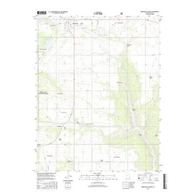
2017 Map of Monticello South
USGS Topo · Published 2017About this map
Monticello anchors the northern edge of this high-plateau landscape, where the town grid meets the rolling drainages of the canyonlands. The map reveals a transition from organized residential streets like W Center St to the vast open spaces of the Manti-LaSal National Forest. Water management is central to the area’s layout, evidenced by Lloyds Lake, the Number One Reservoir, and the winding paths of Verdure Creek and Montezuma Creek. Genealogists will find interest in the Monticello City Cemetery and the more remote Verdure Cemetery near the settlement of Verdure. The southern portion is defined by significant topographical features including Montezuma Canyon and Dodge Canyon, reflecting the complex erosion patterns characteristic of San Juan County. Individual landmarks such as Pehrson and Ed Saul mark specific points in the rural landscape between the deep draws and high points like Boulder Point.
Find a feature on this map
45 named features on this map. Tap any name to fly to it.
Don’t see what you’re looking for? This feature index may not catch every label — zoom into the map to look around manually.
Map Details
Editions of this 2017 Monticello South Map
This is the sole edition of this map. No revisions or reprints were ever made.
Other maps of this area

1886 · Abajo
USGS Topo · 1:250,000

1892 · Abajo
USGS Topo · 1:250,000

1893 · Abajo
USGS Topo · 1:250,000

1955 · Verdure 4 NW
USGS Topo · 1:24,000

1955 · Verdure 2 SE
USGS Topo · 1:24,000

1955 · Verdure 1 SW
USGS Topo · 1:24,000

1955 · Verdure 3 NE
USGS Topo · 1:24,000

1956 · Cortez
USGS Topo · 1:250,000

1957 · Monument Canyon
USGS Topo · 1:62,500

1957 · Blanding
USGS Topo · 1:62,500