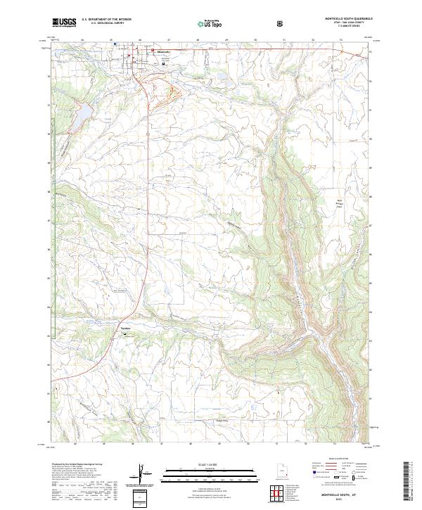
2023 Map of Monticello South
USGS Topo · Published 2023About this map
Monticello sits at the northern edge of this high-altitude landscape, where the town grid is anchored by the San Juan County Court House and residential streets like Abajo Dr. South of the city, the land transitions into a network of rugged drainages and canyons, including the significant Montezuma Canyon and the winding Verdure Creek. The smaller settlement of Verdure is located to the south along Highway 191, accompanied by the local Verdure Cem.
Find a feature on this map
54 named features on this map. Tap any name to fly to it.
Don’t see what you’re looking for? This feature index may not catch every label — zoom into the map to look around manually.
Map Details
Editions of this 2023 Monticello South Map
This is the sole edition of this map. No revisions or reprints were ever made.
Other maps of this area

1886 · Abajo
USGS Topo · 1:250,000

1892 · Abajo
USGS Topo · 1:250,000

1893 · Abajo
USGS Topo · 1:250,000

1955 · Verdure 4 NW
USGS Topo · 1:24,000

1955 · Verdure 2 SE
USGS Topo · 1:24,000

1955 · Verdure 1 SW
USGS Topo · 1:24,000

1955 · Verdure 3 NE
USGS Topo · 1:24,000

1956 · Cortez
USGS Topo · 1:250,000

1957 · Monument Canyon
USGS Topo · 1:62,500

1957 · Blanding
USGS Topo · 1:62,500