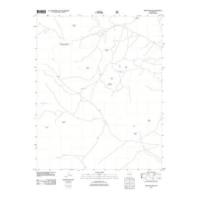
2011 Map of Montoso Peak
USGS Topo · Published 2011About this map
The Department of Agriculture Experimental Area occupies much of the northern landscape of this plateau region, indicating a history of land management and scientific study in the high desert. High points such as Montoso Peak and Ortiz Mountain anchor the northern boundary, while the Caja del Rio Plateau forms the primary geographic character of the central area. The map reveals a land defined by water management and ranching infrastructure, evidenced by numerous named watering points including Tank Thirty-one, Tank Thirty, and the distinctively named Tetilla Hole in the south.
Find a feature on this map
20 named features on this map. Tap any name to fly to it.
Don’t see what you’re looking for? This feature index may not catch every label — zoom into the map to look around manually.
Map Details
Editions of this 2011 Montoso Peak Map
This is the sole edition of this map. No revisions or reprints were ever made.
Other maps of this area

1892 · Santa Clara
USGS Topo · 1:125,000

1951 · Agua Fria
USGS Topo · 1:24,000

1951 · Turquoise Hill
USGS Topo · 1:24,000

1952 · Turquoise Hill
USGS Topo · 1:24,000

1952 · White Rock
USGS Topo · 1:24,000

1952 · Frijoles
USGS Topo · 1:24,000

1952 · Montoso Peak
USGS Topo · 1:24,000

1953 · Cochiti Dam
USGS Topo · 1:24,000

1953 · Santo Domingo Pueblo
USGS Topo · 1:24,000

1953 · Horcado Ranch
USGS Topo · 1:24,000