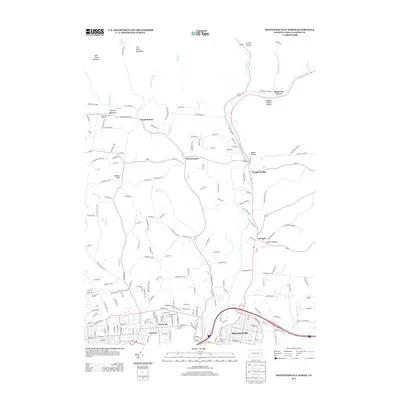
2013 Map of Montoursville North
USGS Topo · Published 2013About this map
Loyalsock Cr meanders through the central valley of this Lycoming County landscape, providing a geographic anchor for a string of small settlements that define the region's rural character. In the northern reaches, the terrain rises toward Mill Creek Mountain and Scofield Mountain, separated by the waters of Mill Cr and Martins Run. These highlands frame agricultural and residential clusters like North Eldred and Warrensville, where local road networks such as Caleb Creek Rd and Pleasant Valley Rd follow the natural contours of the hills.
Find a feature on this map
191 named features on this map. Tap any name to fly to it.
Don’t see what you’re looking for? This feature index may not catch every label — zoom into the map to look around manually.
Map Details
Editions of this 2013 Montoursville North Map
This is the sole edition of this map. No revisions or reprints were ever made.
Other maps of this area

1921 · Williamsport
USGS Topo · 1:48,000

1921 · Trout Run
USGS Topo · 1:62,500

1923 · Trout Run
USGS Topo · 1:62,500

1923 · Williamsport
USGS Topo · 1:62,500

1924 · Milton
USGS Topo · 1:62,500

1930 · Warrensville
USGS Topo · 1:62,500

1934 · Warrensville
USGS Topo · 1:62,500

1944 · Trout Run
USGS Topo · 1:62,500

1944 · Williamsport
USGS Topo · 1:62,500

1953 · Warrensville
USGS Topo · 1:62,500
Featured Places
- Williamsport, PA
- Faxon, Loyalsock Township
- Penn Vale, Loyalsock Township
- Butternut Grove, Gamble Township
- Warrensville, Eldred Township