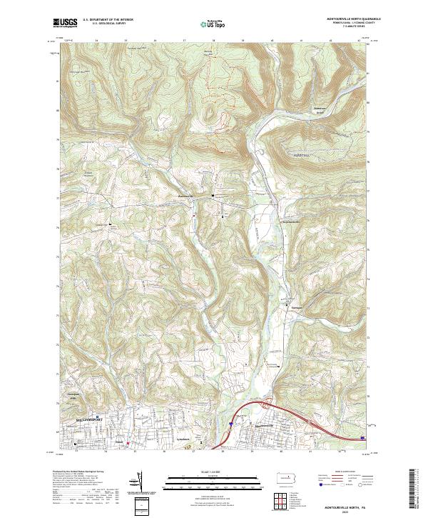
2023 Map of Montoursville North
USGS Topo · Published 2023About this map
Loyalsock Creek carves a deep valley through the northern ridges of Lycoming County, defining the settlement patterns that emerged between the high summits of Mill Creek Mountain and Blessing Mountain. In the south, the landscape transitions into the urban fringes of Williamsport and Montoursville, where neighborhoods like Faxon and Lymehurst sit just north of the 220 corridor. For genealogists, the map is particularly rich in family history, identifying several small burial grounds such as the Scott Family Graveyard and the Buckley-Farragut Cem. The rugged northern terrain is crossed by the Blessing Mountain Trails Trl and the Loyalsock-State Forest & Worlds End State Park Snowmobile Trails Trl, while smaller crossroads like Warrensville and Loyalsockville serve as gateways to the hollows of Kaiser Hollow and Crooked Riffles Hollow.
Find a feature on this map
55 named features on this map. Tap any name to fly to it.
Don’t see what you’re looking for? This feature index may not catch every label — zoom into the map to look around manually.
Map Details
Editions of this 2023 Montoursville North Map
This is the sole edition of this map. No revisions or reprints were ever made.
Other maps of this area

1921 · Williamsport
USGS Topo · 1:48,000

1921 · Trout Run
USGS Topo · 1:62,500

1923 · Trout Run
USGS Topo · 1:62,500

1923 · Williamsport
USGS Topo · 1:62,500

1924 · Milton
USGS Topo · 1:62,500

1930 · Warrensville
USGS Topo · 1:62,500

1934 · Warrensville
USGS Topo · 1:62,500

1944 · Trout Run
USGS Topo · 1:62,500

1944 · Williamsport
USGS Topo · 1:62,500

1953 · Warrensville
USGS Topo · 1:62,500
Featured Places
- Williamsport, PA
- Faxon, Loyalsock Township
- Farragut, Upper Fairfield Township
- Penn Vale, Loyalsock Township
- Butternut Grove, Gamble Township