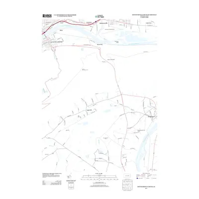
2013 Map of Montoursville South
USGS Topo · Published 2013About this map
The W Br Susquehanna River anchors this central Pennsylvania landscape, winding past the urban developments of South Williamsport and Montoursville. The northern bank is densely settled, connecting neighborhoods like Faxon and Lymehurst via established thoroughfares such as Washington Blvd and E 3rd St. Significant aviation infrastructure is central to this area, represented by the Williamsport Regional Airport and the smaller Hackenburg-Penny Hill Airport further south.
Find a feature on this map
122 named features on this map. Tap any name to fly to it.
Don’t see what you’re looking for? This feature index may not catch every label — zoom into the map to look around manually.
Map Details
Editions of this 2013 Montoursville South Map
This is the sole edition of this map. No revisions or reprints were ever made.
Other maps of this area

1921 · Williamsport
USGS Topo · 1:48,000

1921 · Trout Run
USGS Topo · 1:62,500

1923 · Trout Run
USGS Topo · 1:62,500

1923 · Williamsport
USGS Topo · 1:62,500

1924 · Milton
USGS Topo · 1:62,500

1930 · Warrensville
USGS Topo · 1:62,500

1934 · Warrensville
USGS Topo · 1:62,500

1944 · Trout Run
USGS Topo · 1:62,500

1944 · Williamsport
USGS Topo · 1:62,500

1953 · Warrensville
USGS Topo · 1:62,500