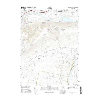
2016 Map of Montoursville South
USGS Topo · Published 2016About this map
Bald Eagle Mountain dominates the center of this landscape, separating the industrial and residential corridors along the West Branch Susquehanna River from the rural southern reaches. The river valley is a hub of transportation and infrastructure, featuring the Williamsport Regional Airport and settlements like South Williamsport, Faxon, and Montoursville. These communities are tightly packed against the northern slopes, where the Loyalsock Creek feeds into the main channel near Racetrack Island.
Find a feature on this map
129 named features on this map. Tap any name to fly to it.
Don’t see what you’re looking for? This feature index may not catch every label — zoom into the map to look around manually.
Map Details
Editions of this 2016 Montoursville South Map
This is the sole edition of this map. No revisions or reprints were ever made.
Other maps of this area

1921 · Williamsport
USGS Topo · 1:48,000

1921 · Trout Run
USGS Topo · 1:62,500

1923 · Trout Run
USGS Topo · 1:62,500

1923 · Williamsport
USGS Topo · 1:62,500

1924 · Milton
USGS Topo · 1:62,500

1930 · Warrensville
USGS Topo · 1:62,500

1934 · Warrensville
USGS Topo · 1:62,500

1944 · Trout Run
USGS Topo · 1:62,500

1944 · Williamsport
USGS Topo · 1:62,500

1953 · Warrensville
USGS Topo · 1:62,500