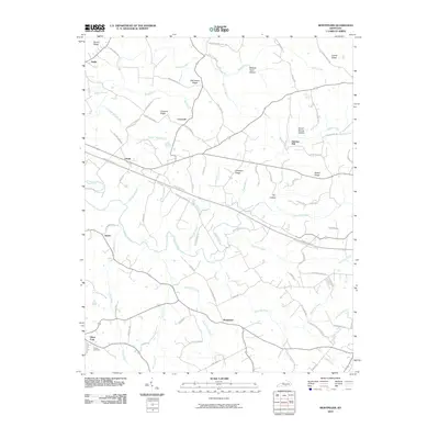
2010 Map of Montpelier
USGS Topo · Published 2010About this map
Montpelier and the surrounding Adair County countryside are defined by a complex network of ridges and deep drainage hollows as they appeared in the early 21st century. The landscape is oriented around the serpentine path of Russell Creek and its many tributaries, including White Oak Creek and Big Clifty Creek. Historically significant small communities and crossroads such as Gentrys Mill, Ozark, and Glens Fork are scattered across the terrain, connected by a dense web of local roads named for prominent local families. Many of these routes, such as Hatcher White Rd and Lee Bob Carter Rd, provide geographic links to the area's genealogical history. The topographic detail highlights the relief between high points like Concord Ridge and the sheltered lowlands of Wildcat Cave Hollow, illustrating the enduring agricultural and residential patterns of this rural Kentucky region.
Find a feature on this map
87 named features on this map. Tap any name to fly to it.
Don’t see what you’re looking for? This feature index may not catch every label — zoom into the map to look around manually.
Map Details
Editions of this 2010 Montpelier Map
This is the sole edition of this map. No revisions or reprints were ever made.
Other maps of this area

1953 · Amandaville
USGS Topo · 1:24,000

1953 · Montpelier
USGS Topo · 1:24,000

1953 · Creelsboro
USGS Topo · 1:24,000

1953 · Jamestown
USGS Topo · 1:24,000

1953 · Dunnville
USGS Topo · 1:24,000

1953 · Cane Valley
USGS Topo · 1:24,000

1954 · Knifley
USGS Topo · 1:24,000

1954 · Columbia
USGS Topo · 1:24,000

1954 · Russell Springs
USGS Topo · 1:24,000

1956 · Corbin
USGS Topo · 1:250,000