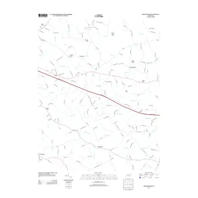
2013 Map of Montpelier
USGS Topo · Published 2013About this map
Montpelier serves as a central point in this southern Kentucky landscape, where several rural road systems converge near the waters of Cabin Fork Cr. The terrain is defined by a series of prominent ridges and drainages, such as Concord Ridge and Bethel Ridge, which shaped the early settlement patterns of communities like Craycraft and Gentrys Mill. Local history is preserved in landmarks such as Freedom Church and the Wesley Cem near Glens Fork.
Find a feature on this map
158 named features on this map. Tap any name to fly to it.
Don’t see what you’re looking for? This feature index may not catch every label — zoom into the map to look around manually.
Map Details
Editions of this 2013 Montpelier Map
This is the sole edition of this map. No revisions or reprints were ever made.
Other maps of this area

1953 · Amandaville
USGS Topo · 1:24,000

1953 · Montpelier
USGS Topo · 1:24,000

1953 · Creelsboro
USGS Topo · 1:24,000

1953 · Jamestown
USGS Topo · 1:24,000

1953 · Dunnville
USGS Topo · 1:24,000

1953 · Cane Valley
USGS Topo · 1:24,000

1954 · Knifley
USGS Topo · 1:24,000

1954 · Columbia
USGS Topo · 1:24,000

1954 · Russell Springs
USGS Topo · 1:24,000

1956 · Corbin
USGS Topo · 1:250,000