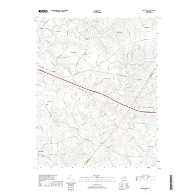
2019 Map of Montpelier
USGS Topo · Published 2019About this map
Montpelier and the surrounding Adair County uplands are defined by a network of ridges and winding waterways where the Cumberland Parkway now cuts through the traditional landscape. High points like Concord Ridge, Bethel Ridge, and Oak Grove Ridge separate the many hollows and creek beds that feed into the larger drainage of Russell Creek. The settlement pattern follows these natural contours, with small communities such as Gentrys Mill and Ozark situated along historic routes like Russell Springs Rd.
Find a feature on this map
119 named features on this map. Tap any name to fly to it.
Don’t see what you’re looking for? This feature index may not catch every label — zoom into the map to look around manually.
Map Details
Editions of this 2019 Montpelier Map
This is the sole edition of this map. No revisions or reprints were ever made.
Other maps of this area

1953 · Amandaville
USGS Topo · 1:24,000

1953 · Montpelier
USGS Topo · 1:24,000

1953 · Creelsboro
USGS Topo · 1:24,000

1953 · Jamestown
USGS Topo · 1:24,000

1953 · Dunnville
USGS Topo · 1:24,000

1953 · Cane Valley
USGS Topo · 1:24,000

1954 · Knifley
USGS Topo · 1:24,000

1954 · Columbia
USGS Topo · 1:24,000

1954 · Russell Springs
USGS Topo · 1:24,000

1956 · Corbin
USGS Topo · 1:250,000