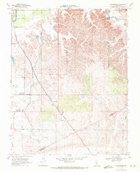
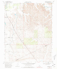
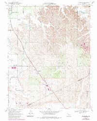
1968 Map of Montpelier
USGS Topo · Published 1972About this map
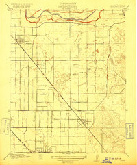
The settlement of Montpelier serves as a central hub in this late 1960s survey of the eastern San Joaquin Valley, defined by the intersection of rural life and transit. The Southern Pacific RR cuts diagonally through the landscape, supporting agricultural infrastructure like the Grain Elevator near the town site. To the northwest, the community of Hickman sits near the headworks of the Main Canal, illustrating the vital role of water management in this agricultural corridor.
Find a feature on this map
17 named features on this map. Tap any name to fly to it.
Don’t see what you’re looking for? This feature index may not catch every label — zoom into the map to look around manually.
Map Details
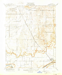
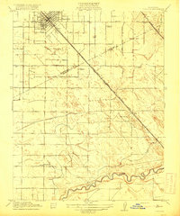
Editions of this 1968 Montpelier Map
3 editions found
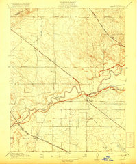
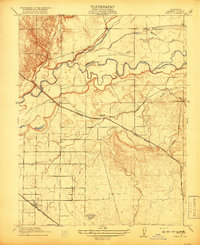
Other maps of this area

1913 · Dickenson
USGS Topo · 1:31,680

1915 · Paulsell
USGS Topo · 1:31,680

1916 · Three Tree Flat
USGS Topo · 1:31,680
1916 · Cressey
USGS Topo · 1:31,680

1916 · Montpellier
USGS Topo · 1:31,680

1916 · Cooperstown
USGS Topo · 1:31,680
1916 · Denair
USGS Topo · 1:31,680
1916 · Waterford
USGS Topo · 1:31,680
1917 · Turlock
USGS Topo · 1:31,680
1917 · Winton
USGS Topo · 1:31,680