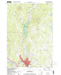
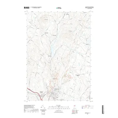
1919 Map of Montpelier
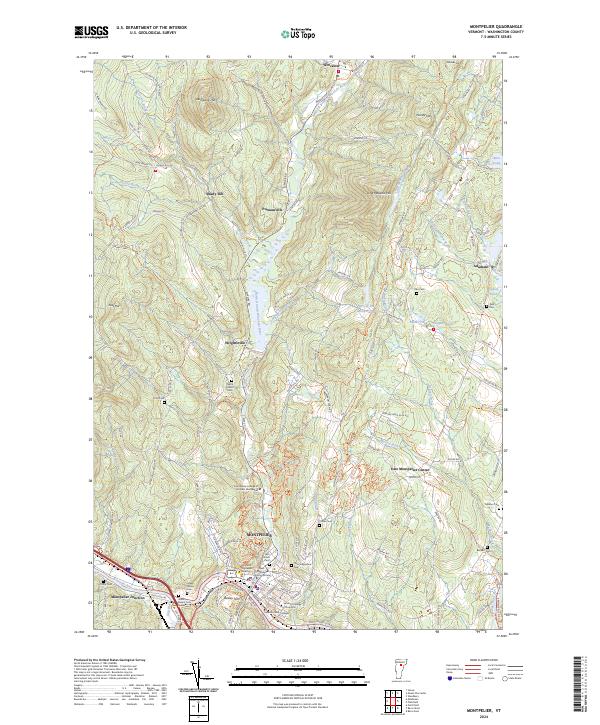
USGS Topo · Published 1963About this map
Montpelier and the winding Winooski River corridor define this early 20th-century landscape, where the Central Vermont RR provides a critical industrial spine through the valley. The map documents a transition in rural Vermont life, capturing numerous district schools such as the Luce Hill School and Dudley School alongside small milling centers like Mill Village and Putnamville.
Find a feature on this map
121 named features on this map. Tap any name to fly to it.
Don’t see what you’re looking for? This feature index may not catch every label — zoom into the map to look around manually.
Map Details
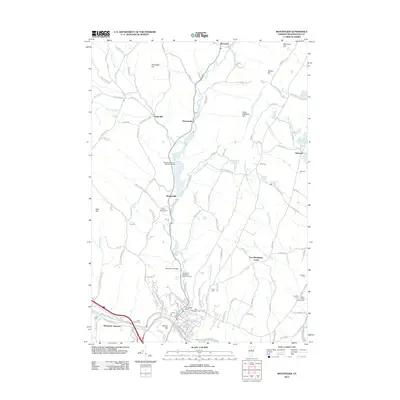
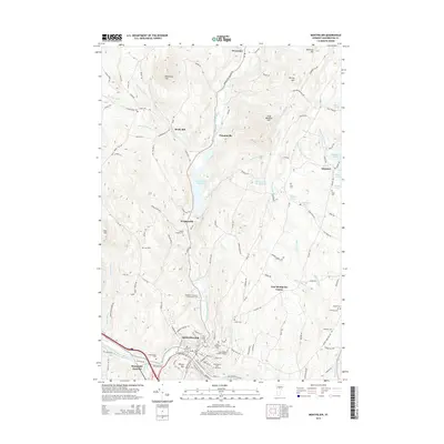
Editions of this 1919 Montpelier Map
2 editions found

Historical Maps of Montpelier Through Time
11 maps found
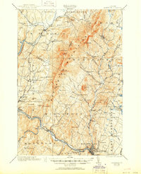
1919 Montpelier
Washington County, VT
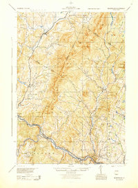
1921 Montpelier
Washington County, VT
1944 Montpelier
Washington County, VT
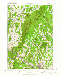
1968 Montpelier
Washington County, VT

1988 Montpelier
Washington County, VT
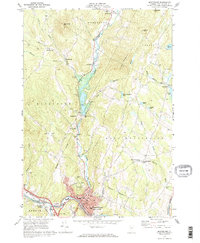
1999 Montpelier
Washington County, VT
2012 Montpelier
Washington County, VT
2015 Montpelier
Washington County, VT
2018 Montpelier
Washington County, VT
2021 Montpelier
Washington County, VT
2024 Montpelier
Washington County, VT