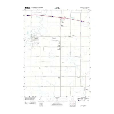
2010 Map of Montpelier
USGS Topo · Published 2010About this map
The Saint Joseph River meanders through this Williams County landscape, serving as the backdrop for the established community of Montpelier. This early 21st-century record highlights the town's central infrastructure, including the Montpelier Post Office and nearby Riverside Cemetery. To the east, modern developments such as Holiday City and the Bryan Montpelier Interchange mark the intersection of traditional township life with regional transit corridors.
Find a feature on this map
41 named features on this map. Tap any name to fly to it.
Don’t see what you’re looking for? This feature index may not catch every label — zoom into the map to look around manually.
Map Details
Editions of this 2010 Montpelier Map
This is the sole edition of this map. No revisions or reprints were ever made.
Other maps of this area

1907 · Defiance
USGS Topo · 1:62,500

1909 · Defiance
USGS Topo · 1:62,500

1913 · Alvordton
USGS Topo · 1:62,500

1914 · Pioneer
USGS Topo · 1:62,500

1914 · Bryan
USGS Topo · 1:62,500

1943 · Bryan
USGS Topo · 1:62,500

1944 · Pioneer
USGS Topo · 1:62,500

1944 · Alvordton
USGS Topo · 1:62,500

1953 · Fort Wayne
USGS Topo · 1:250,000

1956 · Fort Wayne
USGS Topo · 1:250,000