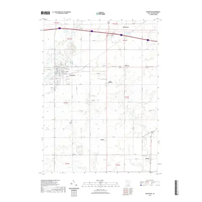
2019 Map of Montpelier
USGS Topo · Published 2019About this map
The Saint Joseph River winds through the village of Montpelier, serving as a central geographic anchor for this Williams County landscape. The settlement pattern here is defined by a dense grid of residential streets in the village core, including W Main St and E Main St, which transitions into a vast network of section roads such as Co Rd K and Co Rd J. This survey illustrates the proximity of modern transit corridors to established rural communities, with the northern reach of the map featuring Holiday City and the intersection of major thoroughfares.
Find a feature on this map
52 named features on this map. Tap any name to fly to it.
Don’t see what you’re looking for? This feature index may not catch every label — zoom into the map to look around manually.
Map Details
Editions of this 2019 Montpelier Map
This is the sole edition of this map. No revisions or reprints were ever made.
Other maps of this area

1907 · Defiance
USGS Topo · 1:62,500

1909 · Defiance
USGS Topo · 1:62,500

1913 · Alvordton
USGS Topo · 1:62,500

1914 · Pioneer
USGS Topo · 1:62,500

1914 · Bryan
USGS Topo · 1:62,500

1943 · Bryan
USGS Topo · 1:62,500

1944 · Pioneer
USGS Topo · 1:62,500

1944 · Alvordton
USGS Topo · 1:62,500

1953 · Fort Wayne
USGS Topo · 1:250,000

1956 · Fort Wayne
USGS Topo · 1:250,000