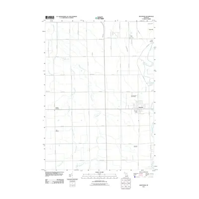
2011 Map of Montrose
USGS Topo · Published 2011About this map
Misteguay Creek and its many tributaries, including Northwood Creek and Mitchell Creek, define the drainage patterns of this fertile agricultural region. The landscape is structured by a rigorous grid of section-line roads such as W Burt Rd, Chesaning Rd, and Seymour Rd, reflecting the enduring township-and-range survey system. Several small communities anchor the area, from the larger hub of Montrose in the southeast to smaller centers like Layton Corners and Burt.
Find a feature on this map
49 named features on this map. Tap any name to fly to it.
Don’t see what you’re looking for? This feature index may not catch every label — zoom into the map to look around manually.
Map Details
Editions of this 2011 Montrose Map
This is the sole edition of this map. No revisions or reprints were ever made.
Other maps of this area

1917 · Chesaning
USGS Topo · 1:62,500

1917 · St. Charles
USGS Topo · 1:62,500

1919 · Saginaw
USGS Topo · 1:62,500

1919 · Burt
USGS Topo · 1:62,500

1921 · Burt
USGS Topo · 1:62,500

1941 · Saginaw
USGS Topo · 1:62,500

1943 · Burt
USGS Topo · 1:62,500

1943 · Chesaning
USGS Topo · 1:62,500

1943 · Saginaw
USGS Topo · 1:62,500

1943 · St. Charles
USGS Topo · 1:62,500