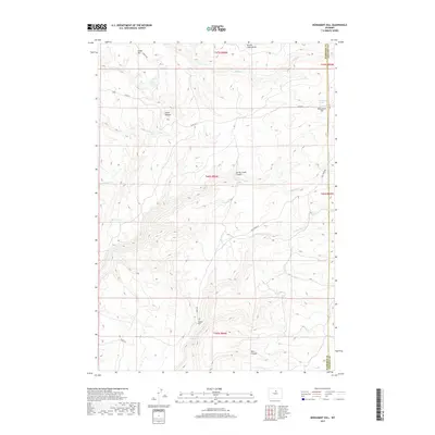
2017 Map of Monument Hill
USGS Topo · Published 2017About this map
Monument Hill and the surrounding high-altitude terrain define this 2017 survey on the border of Washakie and Johnson Counties. The landscape is marked by a complex system of water resources, including isolated sources like Coyote Spring, Bob Spring, and Monument Spring, alongside the man-made Divine Reservoir at the southern edge. These water points were historically vital for livestock and travel through the arid high country.
Find a feature on this map
28 named features on this map. Tap any name to fly to it.
Don’t see what you’re looking for? This feature index may not catch every label — zoom into the map to look around manually.
Map Details
Editions of this 2017 Monument Hill Map
This is the sole edition of this map. No revisions or reprints were ever made.
Other maps of this area

1899 · Cloud peak
USGS Topo · 1:125,000

1901 · Cloud Peak
USGS Topo · 1:125,000

1955 · Sheridan
USGS Topo · 1:250,000

1955 · Arminto
USGS Topo · 1:250,000

1958 · Sheridan
USGS Topo · 1:250,000

1958 · Arminto
USGS Topo · 1:250,000

1962 · Sheridan
USGS Topo · 1:250,000

1962 · Arminto
USGS Topo · 1:250,000

1966 · Monument Hill
USGS Topo · 1:24,000

1966 · Big Trails
USGS Topo · 1:24,000