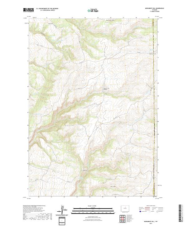
2021 Map of Monument Hill
USGS Topo · Published 2021About this map
The high ridges and deep drainage systems of the Big Horn Mountains' eastern slopes define this territory along the border of Washakie and Johnson counties. The landscape is marked by a network of seasonal water sources and named springs, including Bob Spring, Coyote Spring, and Monument Spring, which provided essential water points in this arid terrain. Dominating the eastern edge is Monument Hill, a significant local landmark rising above the surrounding draws and canyons.
Find a feature on this map
28 named features on this map. Tap any name to fly to it.
Don’t see what you’re looking for? This feature index may not catch every label — zoom into the map to look around manually.
Map Details
Editions of this 2021 Monument Hill Map
This is the sole edition of this map. No revisions or reprints were ever made.
Other maps of this area

1899 · Cloud peak
USGS Topo · 1:125,000

1901 · Cloud Peak
USGS Topo · 1:125,000

1955 · Sheridan
USGS Topo · 1:250,000

1955 · Arminto
USGS Topo · 1:250,000

1958 · Sheridan
USGS Topo · 1:250,000

1958 · Arminto
USGS Topo · 1:250,000

1962 · Sheridan
USGS Topo · 1:250,000

1962 · Arminto
USGS Topo · 1:250,000

1966 · Monument Hill
USGS Topo · 1:24,000

1966 · Big Trails
USGS Topo · 1:24,000